Weather

By Amanda Pomerantz

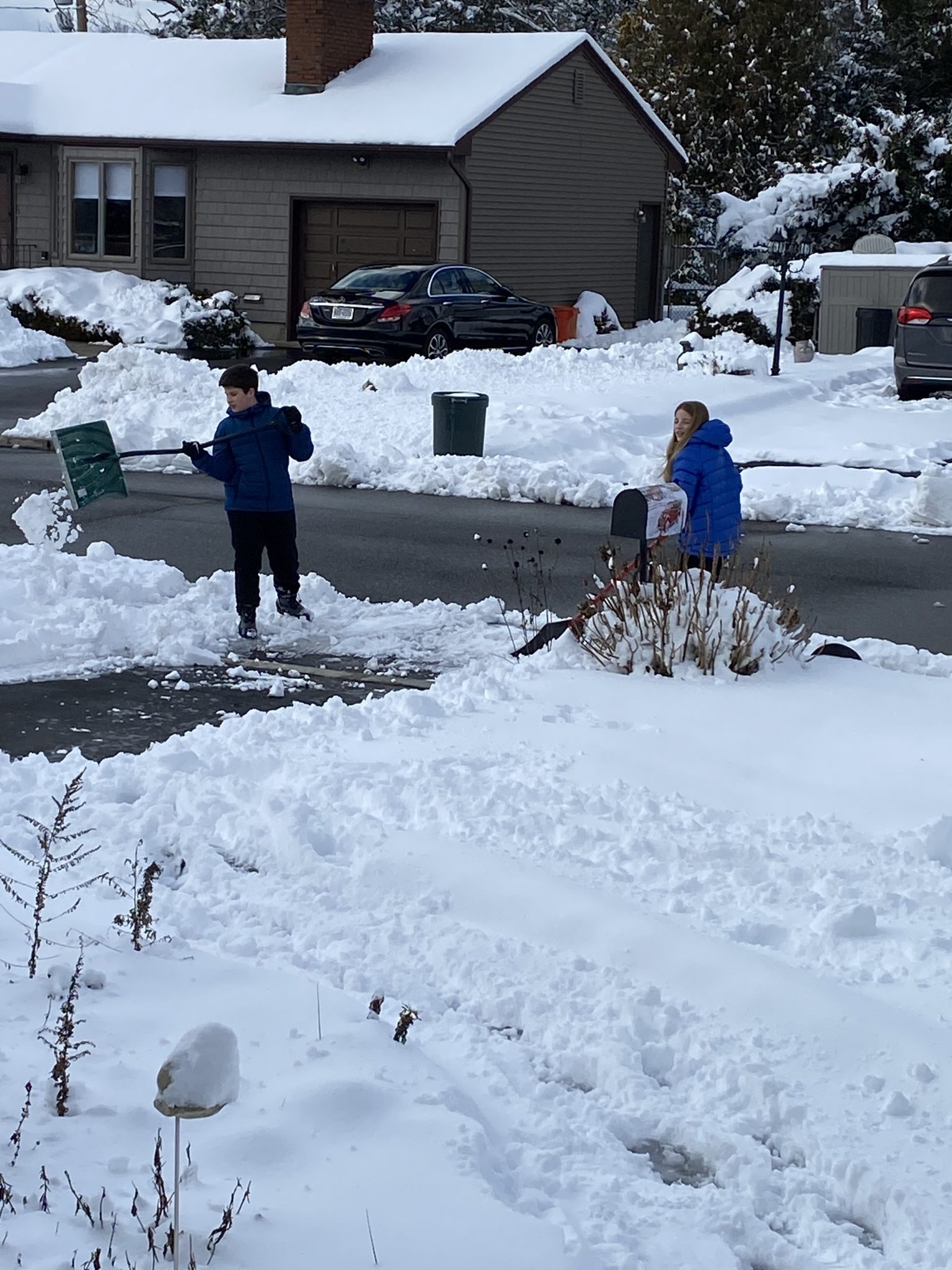
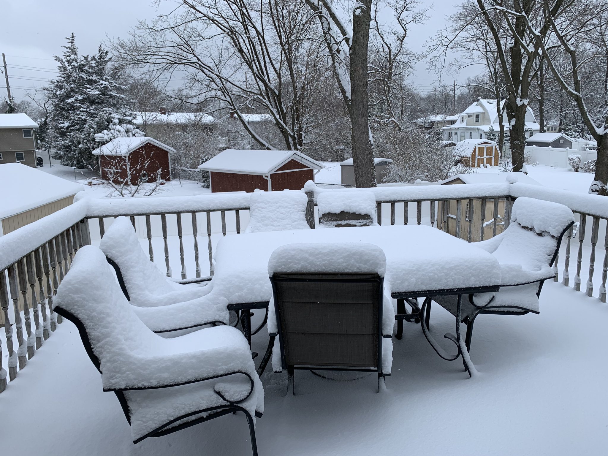
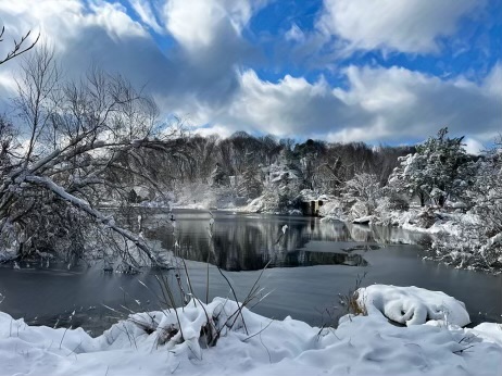
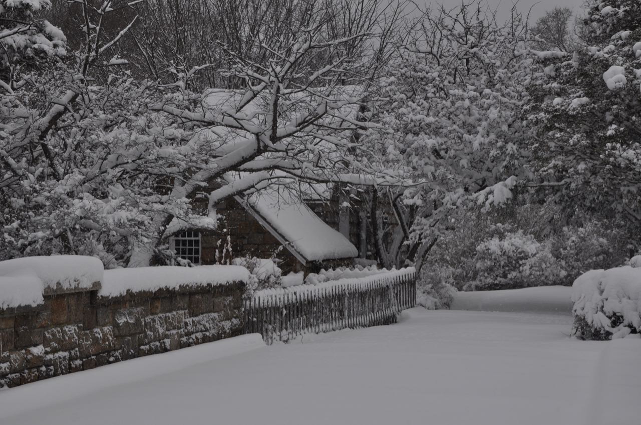
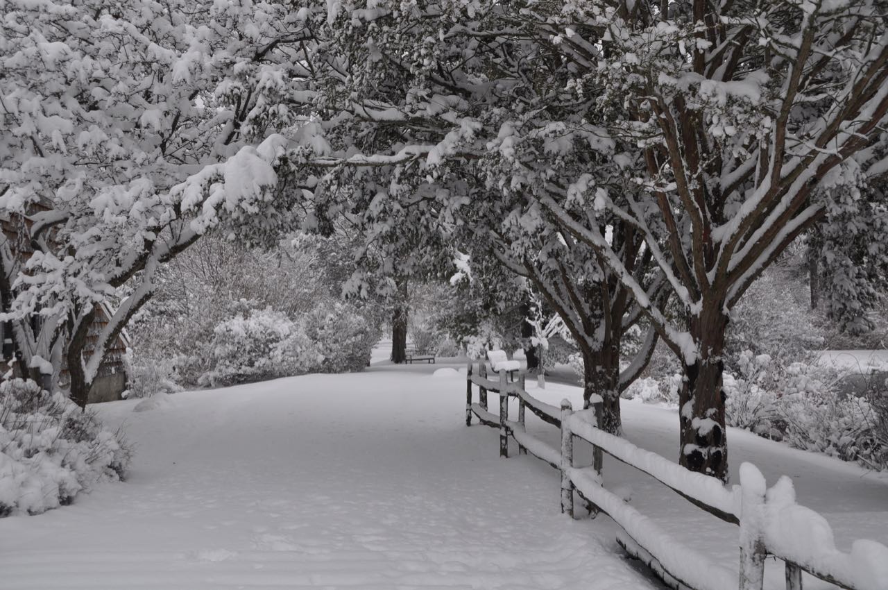
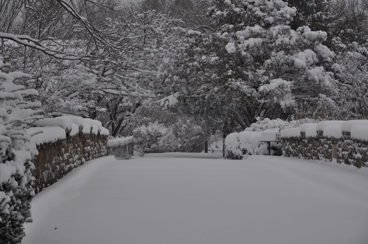
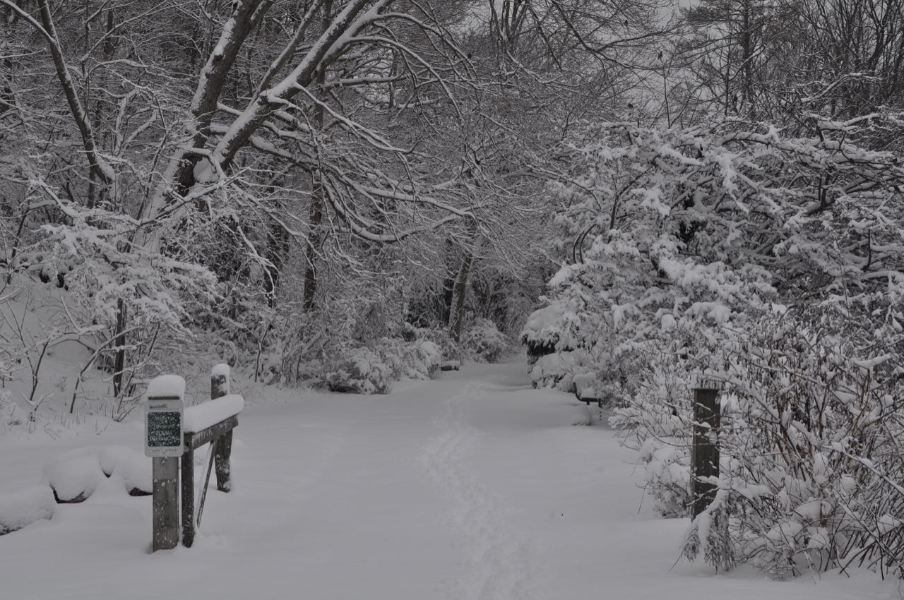
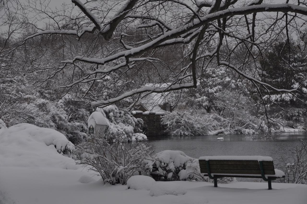
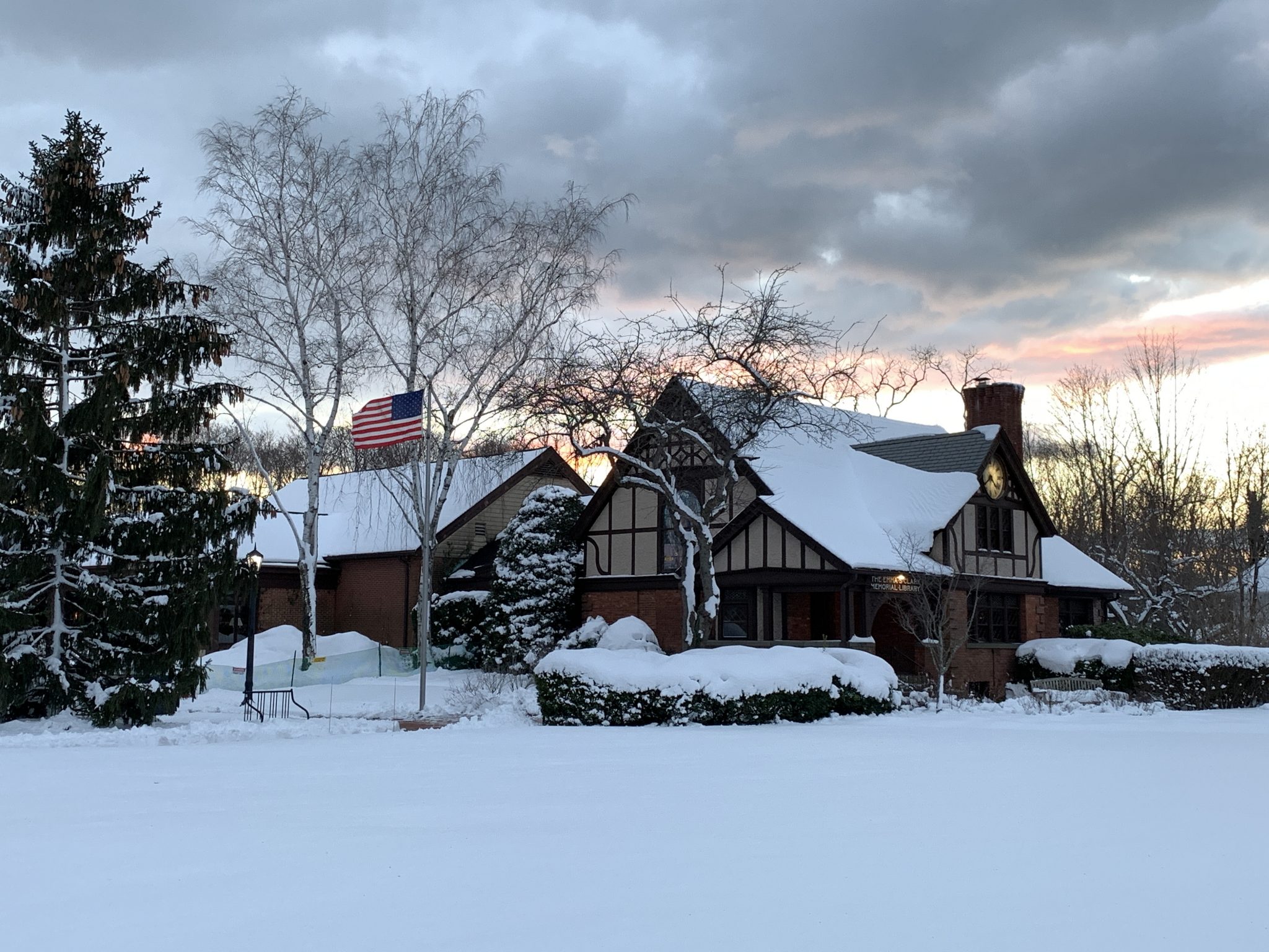
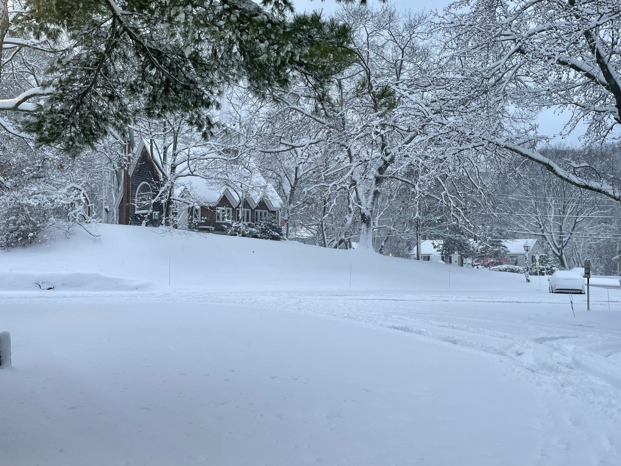
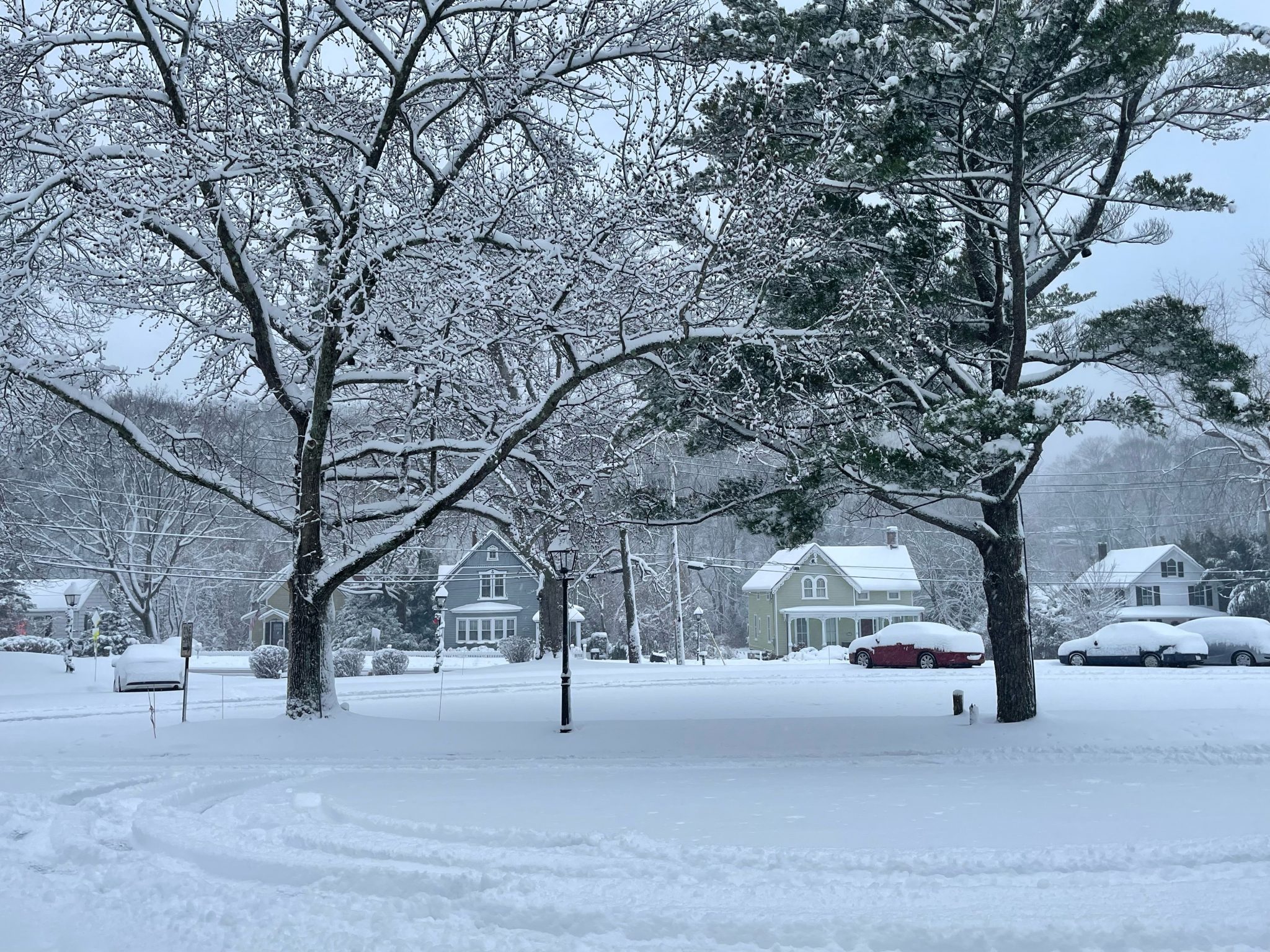
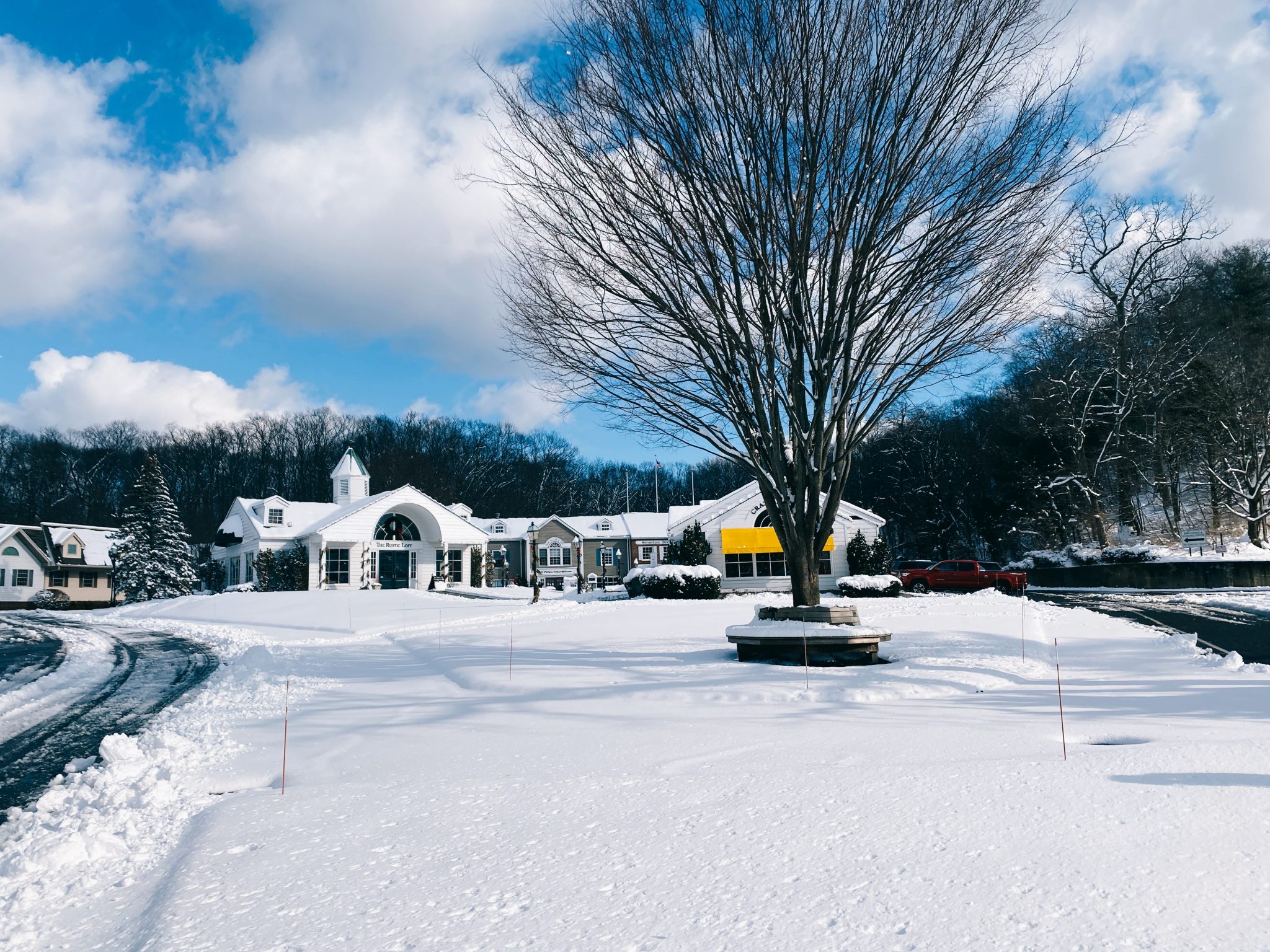
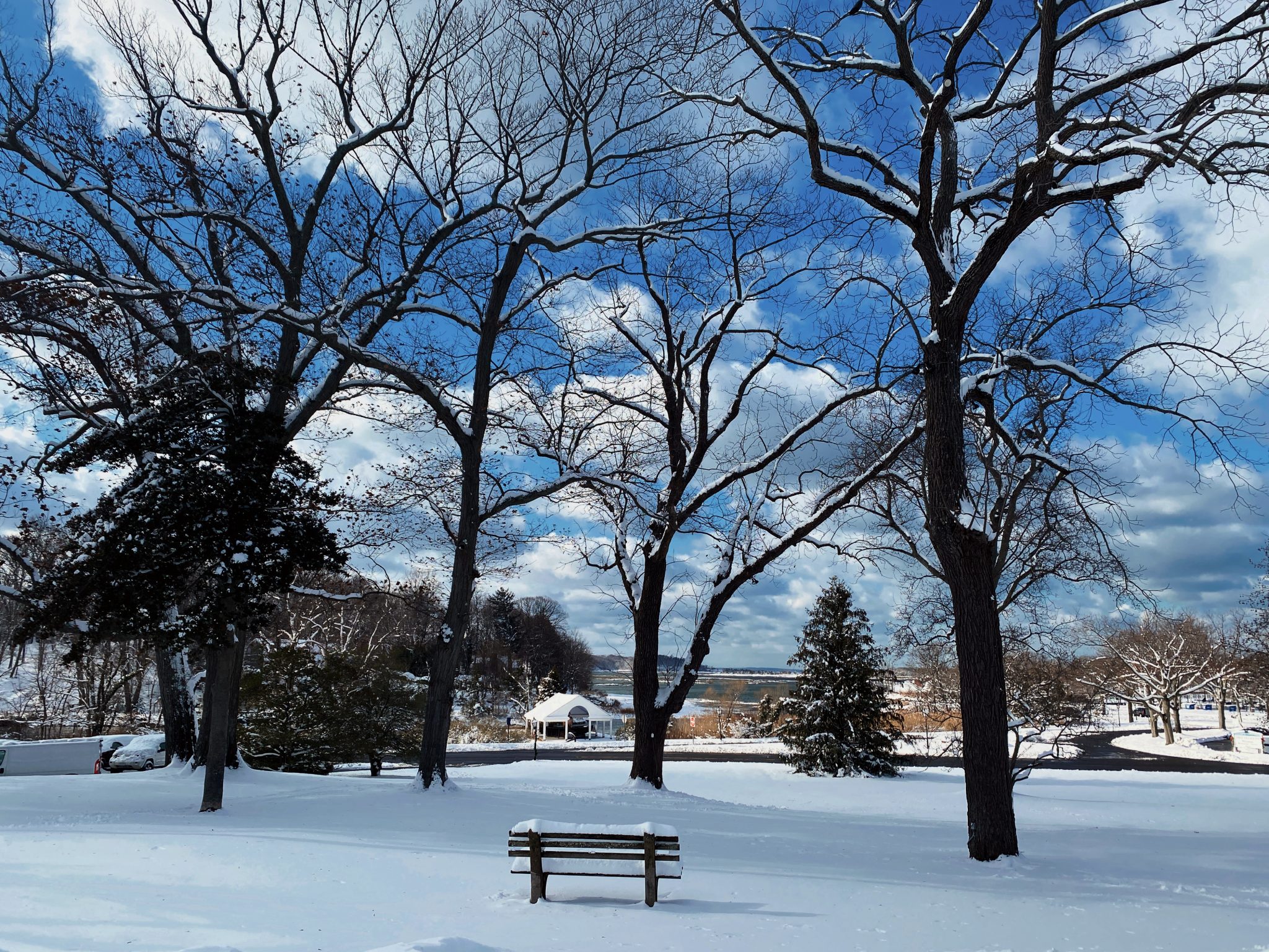
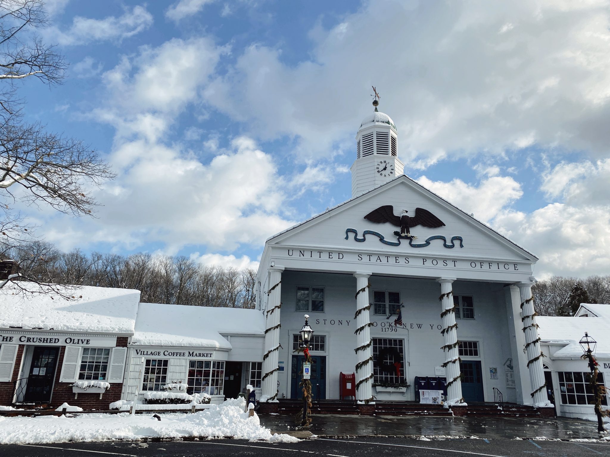
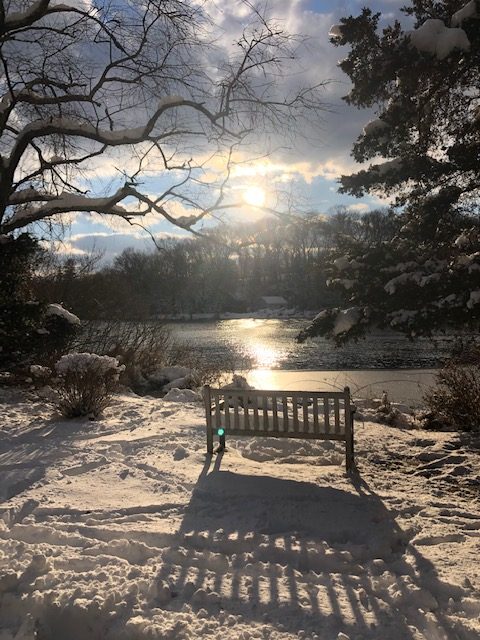
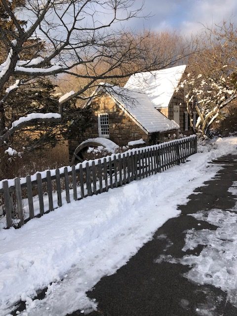
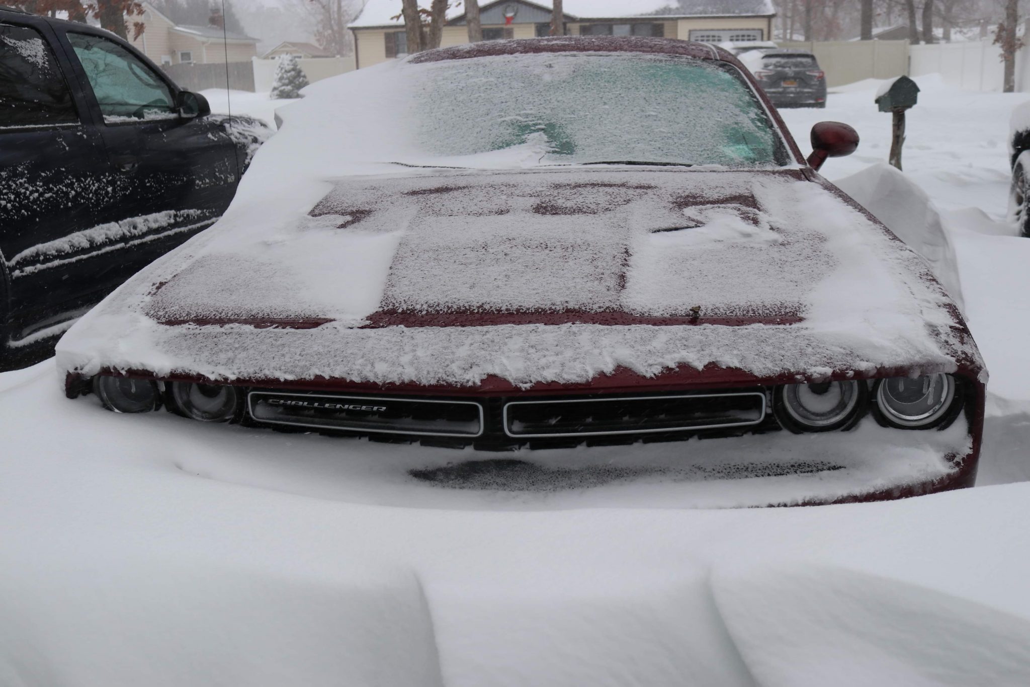
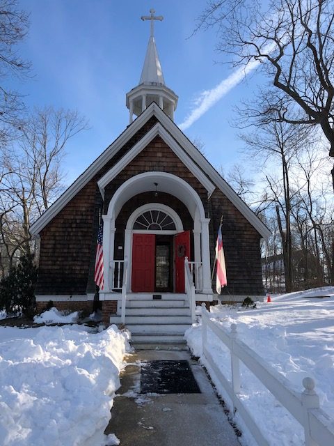
The expected nor’easter over the weekend dumped more than 2 feet of snow in some areas of the Town of Brookhaven, but a big challenge was the blizzard conditions. 

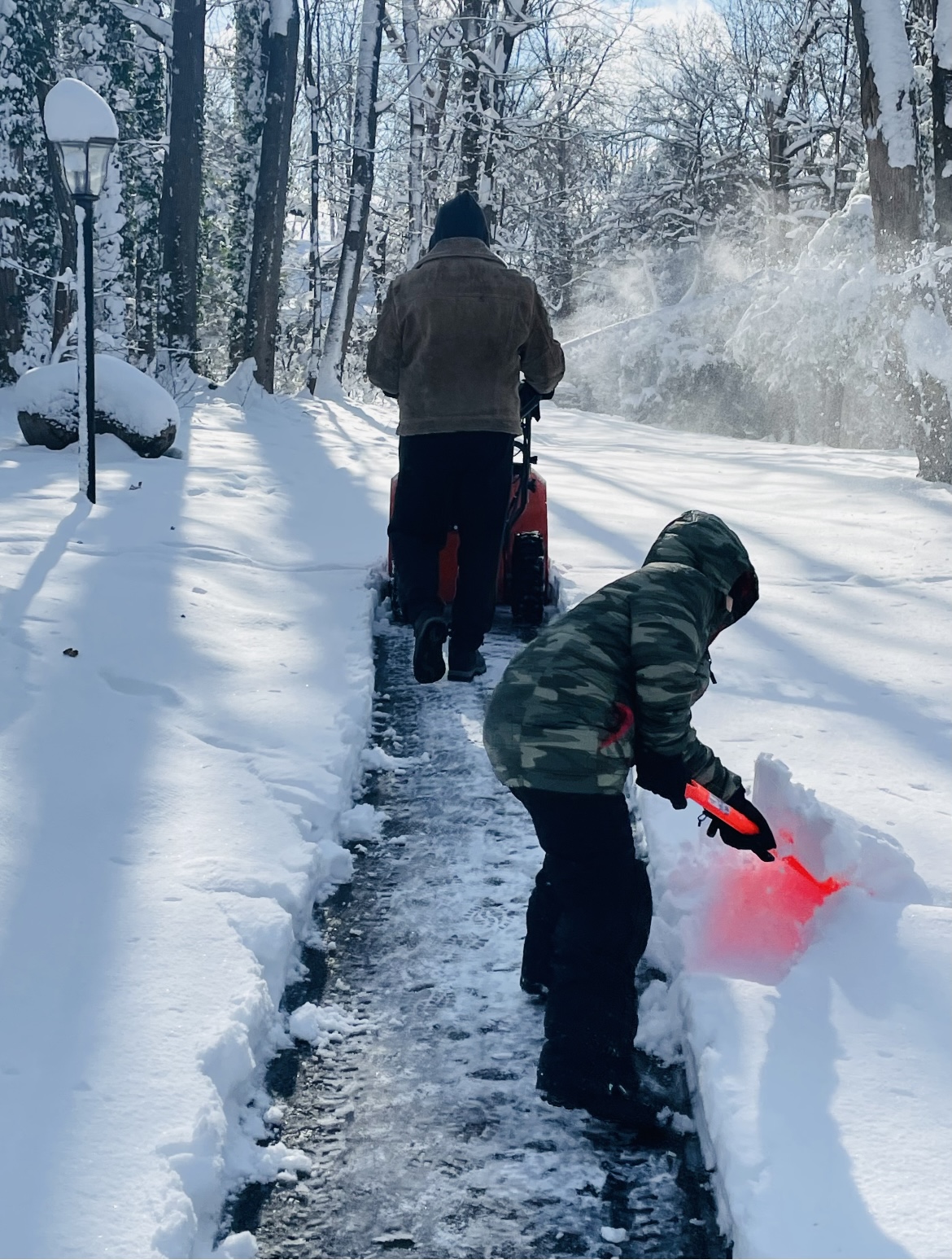
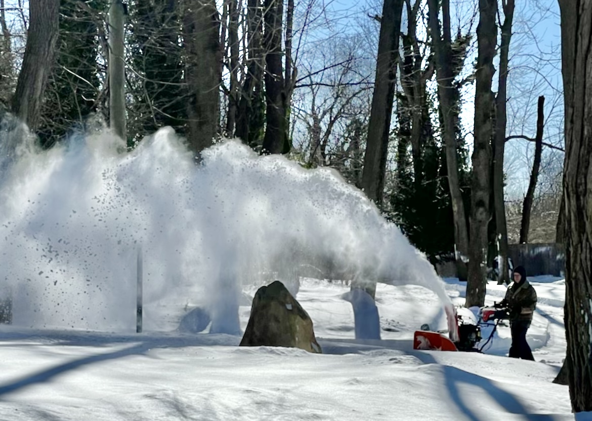
Snowfall started Friday night, and continued into Saturday evening. The wind kept blowing and drifting snow, and areas that had been plowed kept needing to be plowed again.

The National Weather Service reported that in the Town of Brookhaven winds reached as high as 66 mph in Stony Brook, according to the Citizen Weather Observer Program known as CWOP, and snow totals reached as high as 23.5 inches in Medford, according to a trained spotter.

But the town’s superintendent of highways, Daniel Losquadro (R), said that the cleanup was able to keep going through the blizzard conditions. 

“We kept making passes and making roads as clear as possible for emergency services,” he said.

The town’s Highway Department posted a press release on Friday urging residents to take “common sense” precautions to stay safe, including staying off roads and parking cars in driveways to allow snowplows and emergency vehicles to pass.

Brookhaven covers over 530 square miles, with more than 3,700 lane miles of road. The Highway Department now has 250 pieces of hired snow-removal equipment and relies on about an equal number of outside contractors to help with plowing during snowstorms. 

“There is no way we can afford that many pieces of equipment and employees to do that work,” Losquadro said.

The town had 400 pieces of equipment a few years ago, which is down almost 40%, according to the highway superintendent. He compared their equipment numbers to those of the Town of Smithtown, which he said has 40 pieces of equipment, down more than 50% from the 92 pieces it had a few years ago.

“There aren’t as many private contractors doing snow removal right now,” Losquadro said, adding that the Highway Department had advertised aggressively. He and his colleagues agreed that a scarcity of outside contractors is a problem everywhere.

He suggested that this may be due to an increase in costs and oil prices, and a ripple effect in the supply chain. 

“A truck needs to go to work on Monday,” he said. “They risk damages and needing parts.”

He said that the town had a system to break up the large area into sections so that every part would get covered.

“The contractors were able to stay on,” he added.

On Sunday and Monday, the town focused on widening the snow-laden roads and cleaning intersections. “There were not too many breakdowns,” the highway superintendent said.

Brutally cold temperatures overnight on Saturday and Sunday shifted to gradually warmer weather. By Monday afternoon, Losquadro considered how the town had responded to the storm and said, “Everything went well for the most part.”

Pixabay photo

With nearly 2 feet of snow covering the North Shore of Long Island, it’s important to remember that shoveling it can be a strenuous task for both the young and old. 

While freshly fallen snow looks pretty, it gets ugly fast when it piles up preventing us from getting to work, school or the supermarket. 

In order to get back to our daily tasks, the bottom line is we have to shovel. But shoveling can lead to not only minor aches and pains, but unfortunate situations such as heart attacks or death. 

This week alone with the most recent nor’easter, there were three blizzard-related deaths on Long Island — two in Syosset and one in Cutchogue. 

According to data analyzed in a 2019 Washington Post story, shoveling during snowstorms is responsible for about 11,500 injuries — 100 of which on average are fatal. 

However, Catholic Health Physician Partners cardiologist, Dr. Chong Park, gave his insight on how to prevent heading to the hospital while cleaning up your property. 

Park suggested doing a 10-minute warm-up before going outside.

“Light exercise and stretching allow your muscles and joints to loosen,” he said. “Also, avoid eating a heavy meal and consuming alcohol prior to clearing snow.”

Park added, “Should symptoms such as chest pain, chest heaviness, palpitations or shortness of breath occur as you shovel snow, stop immediately and seek medical attention.”

Other tips from Park include:

Dress properly: To stay warm when you’re outside, wear several loose layers of clothing. Additionally, don a water-resistant coat and boots along with a knit hat, scarf and gloves. It’s important to keep your gloves as dry as possible while shoveling. Wet gloves won’t keep your hands warm.

Set your pace: You may want to clear the snow as fast as possible, but that’s when injuries occur. Go slow and do it step-by-step. As much as possible, push snow along the ground. Use a smaller snow shovel to avoid lifting a load that is too heavy. 

Be sure to take frequent breaks, return inside to warm up and consume plenty of water. It’s also important to clear snow as quickly as possible before it begins to melt and gets too heavy.

Good form: When lifting snow, it’s important to use your legs. Bending at the waist can lead to an injury. Keep your back straight and squat with your knees wide. Avoid tossing snow. Instead, walk it to where you want to dump it.

Avoid falls: Wear boots with slip-resistant soles. Once you have cleared your driveway and walkway, throw down salt or sand to eliminate any remaining ice or snow and enhance traction.

So, please follow our motto, “Snow: Handle with care.”

Kevin A. Reed. Photo from Stony Brook University
As climate events continue to cause substantial widespread loss, damage, and financial costs that fall heavier on developing nations, a new commentary in the inaugural issue of PLOS Climate by two researchers, including Stony Brook University’s Professor Kevin A. Reed, calls for developed nations to direct resources toward operationalizing extreme weather events and impact attribution. While this kind of attribution technology is commonplace in the research community, if used by governments it could play a vital role in improving the global response to climate change by making that response more equitable and effective.

Authors Reed and Michael F. Wehner at Lawrence Berkeley National Laboratory, point out the costs of extreme weather over the past 50 years are unevenly distributed across the world. Generally, the most financially expensive weather events have been hurricanes in the U.S., but the deadliest events are droughts and floods in developing nations.

“Our idea is to help guide and push operational centers and governments to use attribution technology to better quantify losses and damage due to climate change, so that the developed world can be better responsive to losses and damages in the developing world,” says Reed, Associate Professor and Associate Dean of Research at the School of Marine and Atmospheric Sciences (SoMAS).

The authors urge that extreme weather event attribution – science that quantifies the influence of anthropogenic climate change on specific individual events – can indeed play a significant role in quantifying loss and damage. They cite two examples in Hurricane Harvey in 2017 and a series of global heat waves over more than 25 years.

“While there has been much discussion about operationalizing extreme weather event attribution, none such exists today,” they write. “Rather attribution statements are performed by a myriad of academic-minded groups, mostly as research projects.”

They add that the credibility of extreme weather event attribution statements has been demonstrated for a wide variety of impactful events, and that observational, computational and statistical tools are readily available.

“Thus, we call on the funding agencies of developed nations to direct resources to their weather forecast services to begin to operationalize extreme weather event and impact attribution.”

Photo from PSEG

PSEG Long Island said it is prepared for the potentially strong winds and heavy precipitation forecasted for the holiday weekend, Sunday, Jan. 16 into Monday, Jan. 17.

Snow changing to rain is expected to begin later today and continue through Monday afternoon. Strong winds with the possibility of peak gusts of up to 70 miles per hour are forecasted – conditions that could break tree limbs, pull down wires and cause outages.

“PSEG Long Island is ready for the impending bad weather, and we encourage our customers to prepare as well,” said Michael Sullivan, vice president of Transmission & Distribution at PSEG Long Island. “As we watch the forecast, we have performed system and logistic checks, and have additional personnel ready to jump into storm mode, regardless of the Martin Luther King Jr. holiday on Monday. In the event of any outages, our crews stand ready to safely restore service as quickly as conditions will allow.”

During this storm, PSEG Long Island may use an enhancement to its outage communications process to increase the accuracy of estimated times of restoration (ETRs). With this enhancement, customers contacting the Call Center early in the storm may receive an “Assessing Conditions” message rather than an ETR message. This will allow crews to assess storm impact first to provide more precise ETRs. For more information about this new process, visit https://www.psegliny.com/outages/estimatedrestorationtimes.

COVID-19-related storm processes remain in place to ensure the health and safety of employees and the public. To that end, we ask that customers remain in their homes when crews are working nearby. If customers must speak with our crews, we ask them to practice responsible “physical distancing” and remain at least 6 feet away. For more information about how PSEG Long Island continues to live up to its commitment to safety during the pandemic, please visit www.psegliny.com/covid19.

Customers are asked to note the important storm safety tips below and to visit https://www.psegliny.com/safetyandreliability/stormsafety for additional storm preparation information.

Customer Safety:

  • Downed wires should always be considered “live.” Please stay away from them, and do not drive over or stand near them. It is best to maintain a distance of at least 30 feet from a downed power line. To report a downed wire, call 911.
  • Electric current passes easily through water. If you encounter a pool of slush or standing water, stop, back up and choose another path. And remember, downed lines are not easy to see in snow.
  • Never use a generator, pressure washer, or any gasoline-powered engine inside your home, basement, or garage or less than 20 feet from any window, door, or vent. Use an extension cord that is more than 20 feet long to keep the generator at a safe distance.

Stay connected:

  • Report an outage and receive status updates by texting OUT to PSEGLI (773454). You can also report your outage through our app, our website at www.psegliny.com/outages or with your voice using the Amazon Alexa or Google Assistant app on your smartphone.
  • To report an outage or downed wire, call PSEG Long Island’s 24-hour Electric Service number at 800-490-0075, or use our web chat feature at www.psegliny.com.
  • Follow PSEG Long Island on Facebook and Twitter to report an outage and for updates before, during and after the storm.
  • Visit PSEG Long Island’s MyPower map for the latest in outage info, restoration times and crew locations across Long Island and the Rockaways at https://mypowermap. psegliny.com/

For more information, visit www.psegliny.com.


According to the National Weather Service, this morning residents along the North Shore of Suffolk County woke up to approximately 6 inches of snow.

East Northport in the northwestern part of the county came in at 6.5 inches of snow, while Mount Sinai out east at around 6 a.m. was reporting 5 inches.

Many school districts announced Thursday night that schools would be closed. The following districts are closed in TBR’s coverage area:

Cold Spring Harbor Central School District

Commack School District

Comsewogue School District

Elwood School District

Haborfields Central School District

Hauppauge School District

Huntington School District

Kings Park School District

Middle Country School District

Miller Place School District

Mount Sinai School District

Northport-East Northport School District

Port Jefferson School District

Rocky Point School District

Shoreham-Wading River Central School District

Smithtown Central School District

Three Village Central School District


Unsplash

The current weather forecast indicates up to 4 to 6 inches of snow across Brookhaven on Friday, January 7. The Town urges residents to take these “common sense” precautions to ensure their safety during this and future snow events:

  • Stay off the roads and park your car in your driveway to allow snowplows and emergency vehicles to pass.
  • Clear fire hydrants in your area.
  • Remove ice and snow from steps, sidewalks and walkways.
  • Keep cell phones and other electronic devices charged.
  • Have a battery-operated radio and a flashlight ready in case of a power outage.
  • When shoveling snow, dress warm in layers and avoid over-exertion.
  • If you must drive, make sure your tires are properly inflated and windshield wipers are working properly.
  • Keep your pets indoors.
  • Check on elderly and infirmed friends and neighbors.
  • Listen to the local radio or television news for weather updates and emergency notifications.
  • When using a generator, place it outdoors and follow all manufacturers’ safety precautions.

In anticipation of the Friday, January 7 snow event, the Town of Brookhaven residential garbage collection will start at 8 a.m. The town will continue to monitor the weather conditions and advise of any additional changes.

Residents should call 451-TOWN to report snow related issues. Call 911 for police, fire and ambulance emergencies only. To report a power outage or downed wires, call PSEG at 800-490-0075 or go to www.psegliny.com to file a report online.

Please go to the Town’s website for up-to-date snow related news, information, weather updates and emergency contact numbers.

The Town may also send out e-mail alerts to residents who have registered on our e-mail list. If you are not on the list, you can sign up today at www.brookhavenny.gov. Residents can also sign up for countywide Code Red alerts at www.suffolkcountyny.gov.

Photo courtesy of America's VetDogs

December 21 marks first day of winter

America’s VetDogs, a Long Island-based national nonprofit that provides specially trained guide and service dogs to Veterans and First Responders with disabilities, is encouraging everyone to keep their dogs in top shape during the coming winter months. Despite the popular misconception, a dog’s fur coat is not enough to protect them from the elements. Much like people, dogs have varying degrees of tolerance when it comes to temperature extremes. Below is a list of care tips for dogs this cold weather season.

  • Be attentive to your dog’s body temperature and limit time outdoors.
  • Remove any sharp objects from your property before the snow flies as with snow on the ground, it’s difficult for dogs to see things like jagged rocks, sharp edged toys, even left-out garden tools.
  • Keep your dog warm, dry and away from drafts. Tile and uncarpeted areas may become extremely cold, so make sure to place blankets and pads on floors in these areas.
  • Provide plenty of fresh water. Your dog is just as likely to get dehydrated in the winter as in the summer.
  • Prevent frostbite on your dog’s ears, tail, and feet by not leaving them outdoors for too long.
  • Supplemental heat sources like fireplaces and portable heaters can severely burn your dog.  Make sure all fireplaces have screens and keep portable heaters out of reach.
  • Your dog needs a well-groomed coat to keep properly insulated. Short- or coarse-haired dogs may get extra cold, so consider a sweater or coat if it does not impede the use of a harness. Long-haired dogs should have excess hair around the toes and foot pads trimmed to ease snow removal and cleaning.
  • Towel or blow-dry your dog if they get wet from rain or snow.  It is important to dry and clean its paws, too. This helps avoid tiny cuts and cracked pads. A little petroleum jelly may soften the pads and prevent further cracking.
  • Don’t leave your dog alone in a car with the engine off and no proper precautions as the temperature in the car will get too cold.
  • Antifreeze, which often collects on driveways and roadways, is highly poisonous. Although it smells and tastes good to your dog, it can be lethal.
  • Rock salt, used to melt ice on sidewalks, may irritate footpads. Rinse your dog’s feet after a walk with a warm, damp cloth or towel and be sure to dry them off afterwards.
  • Don’t use over-the-counter medications on your dog without consulting a veterinarian. If you think your pet has eaten something potentially dangerous, call your veterinarian or a pet poison control center right away.
  • Dogs can be more susceptible to illness in the winter. Take your dog to a veterinarian if you see any suspicious symptoms.

Brookhaven Town Clerk Donna Lent. Photo from TOB

Brookhaven Town residents whose homes were damaged by the unprecedented rains caused by the remnants of Hurricane Ida can apply for federal FEMA grants and receive state and local assistance at a Storm Recovery Center set up in the Rose Caracappa Senior Citizen Center. The center is located at 739 Route 25A in Mount Sinai. The center will be open starting on Thursday, September 16 at 8:00am and will operate 7 days a week from 8:00am to 7:00pm until further notice. Pictured above is Town Clerk Donna Lent at the Rose Caracappa Center preparing to assist residents requiring vital records at the Storm Recovery Center.

Suffolk County received a Major Disaster Declaration this weekend as a result of the devastating floods caused by the remnants of Hurricane Ida earlier this month. Approval is based on joint damage assessments by New York State and the Federal Emergency Management Agency. Suffolk County also qualifies for the Individual Assistance Program.

A Major Disaster Declaration allows for financial assistance from the federal government to provide disaster relief and allow communities to recover through either Public Assistance or a combination of Public and Individual Assistance. Public Assistance provides emergency assistance to save lives and protect property as well as funding debris removal and repairs to public buildings and infrastructure, including roads, bridges, schools, parks, hospitals, police stations, fire houses, water and wastewater treatment facilities and other publicly owned facilities. Individual Assistance provides direct support for individuals and homeowners. Residents may also be able to receive funds for other uninsured or under-insured disaster-caused expenses and serious needs, such as repair or replacement of personal property or funds for moving and storage, or medical, dental, and childcare.

Homeowners and renters should make every effort to document their losses. Homeowners will work directly with FEMA to obtain funding for Individual assistance, which can include funds for temporary housing units, housing and driveway repairs, crisis counseling, unemployment assistance and legal services.

Residents seeking Individual Assistance should complete a damage assessment form as well as FEMA Individual Assistance application form.

The Thompson House sustained flooding in East Setauket. Photo from WMHO

With Hurricane Ida taking lives and causing destruction from Louisiana to New York, New Jersey and Connecticut, some scientists see longer term patterns reflected in the power and destruction of this storm.

Kevin Reed, associate professor at the School of Marine and Atmospheric Sciences at Stony Brook University, said a group of experts on the topic are working on research related to the climate impacts on Ida. No specific timeline is set for such an analysis, which would be similar to what the World Weather Attribution initiative is doing.

“It’s more and more clear that there’s some connection” between a warmer climate and more severe storms,” Reed said. The sooner scientists can make that link, the “more impactful and useful” any such statements or determinations could be.

While Reed hasn’t done any formal research yet on Ida, he has considered some of the specific aspects of this storm.

Rainfall rates of over 3 inches per hour, which set a record in Central Park, are “what you would expect in terms of climate impact.”

Previous modeling work indicates that increasing global temperatures raise the likelihood of extreme rainfall.

Reed hopes researchers can build methodologies and refine their approaches to apply what they know about climate to severe weather events like Ida, which command attention as they approach, once they make landfall and, in their aftermath, as cities and states rebuild.

What’s clear from some of the work he’s done is that “climate change is not a long-off problem, it’s already changing storms” in terms of the amount and intensity of rainfall.

The recent Intergovernmental Panel on Climate Change report emphasized that climate change is increasing the rainfall from storms.

Reed suggested it would help in terms of prevention and planning to develop ways to refine the understanding of the link between climate change and storms.

Researchers should “produce this type of information, almost at the same frequency as weather forecasts.”

Larger storms have become a topic on people’s minds in part because disruptive weather events like hurricanes Ida (2021), Laura (2020), Dorian (2019), Florence (2018), Harvey (2017) and Matthew (2016) seem to happen so much more frequently.

Scientists are continuing to try to “quantify the impact” of how the characteristics of an event might have changed because of a warmer climate, Reed said.

Research has been evolving to address society’s most pressing and urgent questions.

Indeed, climate change can and likely has contributed to heavier snowfall events, despite the broader trend towards warmer temperatures.

Some scientists have linked the melting of Arctic ice to the weakening of the polar vortex, enabling colder air to come south toward the continental United States and, in particular, the Eastern Seaboard.

The impacts from climate change are “going to get larger and more significant,” Reed said. “We have an opportunity to mitigate that. If we reduce our emissions the world will warm by half a degree to a degree. That still is offsetting potentially disastrous impacts of going beyond that.”

Recognizing the impact of climate change is a necessary step in reducing the likelihood of future extreme and variable weather events.

The kind of changes necessary for a sustainable future “takes leadership at the national and international level,” Reed said.

Many North Shore residents spent their Thursday cleaning up after remnants of Tropical Depression Ida pummeled the Island Wednesday night. In addition to the storm, the National Weather Service issued a tornado warning for the North Shore of Suffolk County.

According to PSEG Long Island, the hardest-hit areas on the Island include Northport, Ridge, Lloyd Harbor and Huntington.

Huntington

In the Town of Huntington, flooding outside of the Huntington Sewage Treatment Plant on Creek Road left several motorists stranded, according to a press release from the town. STP staff accessed the facility via payloader late in the evening on Sept.1. During the peak of high tide, STP staff were unable to access the plant from the main entrance on Creek Road or from the rear entrance near the Mill Dam gates.

 “We actually had to take a payloader out to the Creek Road entrance to bring one of our employees into the plant last night,” said John Clark, the town’s director of Environmental Waste Management. “Several cars, including a police vehicle, were stuck on Creek Road and New York Avenue — at least one driver (a police officer) had to be removed via boat by the Huntington Fire Department.”  

Steve Jappell, a wastewater treatment plant operator at the STP facility, operated the payloader and assisted fellow employee Joe Lombardo and the police officer, who was ultimately transported from the scene by the Huntington Fire Department in a rescue boat. 

“Thank you to the Huntington Fire Department, as well as Centerport, Halesite and Northport fire departments, who also arrived to assist other stranded motorists on Creek Road, and to our quick-thinking staff at the plant,” said town Supervisor Chad Lupinacci (R).

According to the press release, the area received its largest rain event in nearly 20 years between 7 p.m. and 1:30 a.m. The town reported that 6.29 inches fell during the 6 ½ hours.

While the STP usually processes around 1.8 million gallons per day, between 6 a.m. Sept. 1 and 6 a.m. Sept. 2 it processed more than 3.8 million gallons. According to the town, the plane “will continue to experience above average flow rates over the next two days as groundwater intrusion and sump pump activity contribute to the increased volumes.” 

Town officials also said there were 26 reports of flooding mostly in Huntington; 29 reports of downed trees and branches; 16 reports of large pieces, sections and layers of asphalt ripped away, five manhole covers washed aside and one possible sinkhole was reported in Northport as asphalt washed away on Oleander Drive.

As for town facilities both golf courses had some flooding and were closed Sept. 2, and Town Hall had about ½ inch of flooding in the basement.

Smithtown

According to Smithtown Public Information Officer Nicole Gargiulo, there was flooding in the Smithtown Town Hall basement; however, there was no other damage to equipment or facilities in the town.

During the peak of the storm, the town received calls about flooded roads, but the streets were cleared as of the morning of Sept. 2. 

Callahan’s Beach sustained damage, according to Gargiulo. The beach had already been closed due to damage after a storm in the early morning hours of Aug. 27. 

Stony Brook University

Students in the Mendelsohn Community of Stony Brook University, which is located on the North end of campus off of Stadium Drive, were the SBU students most affected by the storm. According to communications sent out by the university, while other areas of the campus experienced flooding conditions, Mendelsohn was the most affected and students needed to be relocated.

Also affected by the storm was the Student Brook Union, and the building is closed for damage assessment and cleanup. The university held a ribbon cutting ceremony for the newly renovated student union building last week. Employees who work in the building were asked to work remotely Sept. 2.

In an email from Rick Gatteau, vice president for Students Affairs, and Catherine-Mary Rivera, assistant vice president for Campus Residences, “the Mendelsohn buildings have no power due to 4-6 feet of water in the basement, resulting in a power failure to the building.  At this time, it is unsafe to be in the building while our teams pump out the water, assess the damage, and determine the timeline for repairs.”

Mendelsohn residents were not required to attend class on Sept. 2.

Three Village 

During the storm, the historic Thompson House in East Setauket took in 33 inches of water in its basement. Some of the water rose up to the first floor of the 1709 structure.

The building, which belongs to the Ward Melville Heritage Organization, will need to have the water pumped out, according to WMHO President Gloria Rocchio. After the water is pumped out, a cleanup company will have more work ahead of them to prevent any more damage.

According to the National Weather Service, 6.86 inches of rain fell in Setauket. The NWS reported that it was the highest rainfall total on Long Island.

Additional reporting by Daniel Dunaief.