Search begins to unearth history at Patriots Rock and Setauket Village Green
Archaeologists and historians are scheduled to explore the Setauket Village Green to see what they can unearth about Long Island’s Revolutionary War history.
The Lamar Institute has begun a month-long field research project titled The Struggle for Long Island: Expanding Revolutionary War Studies in New York funded by a $60,000 American Battlefield Protection Program grant from the National Park Service and $5,200 in contributions from Lamar. The Georgia-based nonprofit, which conducts archaeological research to advance public awareness, has organized historians, archaeologists, residents and City University of New York students to explore three military sites occupied by Loyalists on the North Shore during the Revolutionary War — the Setauket Village Green, Fort Slongo (now known as Fort Salonga) and Fort Franklin in Lloyd’s Neck.

Barbara Russell, Town of Brookhaven historian and a Caroline Church of Brookhaven vestry member, said the project was presented to the church’s vestry last year for permission to access the site.
“This is all quite exciting to have respected and qualified researchers from the Lamar Institute in and around our Village Green,” she said. “Historians always welcome further study, and I hope the community will come by and watch the process take place.”
Field research began April 15 in Fort Salonga and will continue April 22 for a week at the Village Green. This will be followed by more studies in Lloyd’s Neck during the week of April 29. While the team has been given permission to research Fort Slongo, which is on private property, property owners have not given permission to study Fort Franklin, which is also on privately owned land. Instead the team will only be able to do work on property that was once the battlefield.
The project will focus on the North Shore areas where the Patriot attacks on the three forts led to their victory at Fort Salonga. Daniel Elliot, president of the Lamar Institute, said the research would include ground penetrating radar survey, systematic controlled metal detection survey, small excavations of key targets, total station laser transit mapping, drone-assisted aerial videography and laboratory analysis. The findings will enable the identification of battlefields and provide data regarding military strategies.
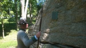
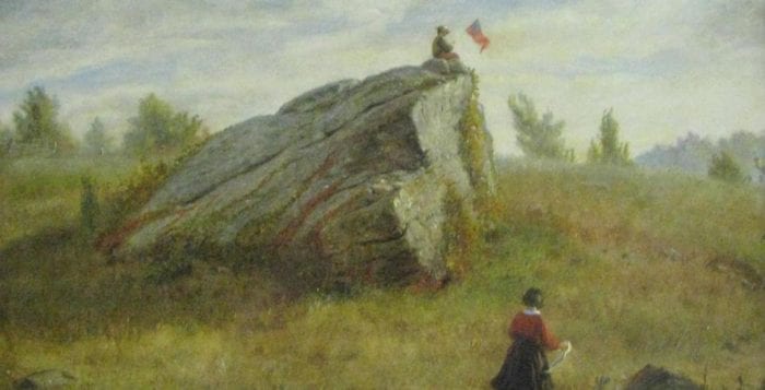
The itinerary for Setauket includes searches of the Patriots Rock tract across from Frank Melville Memorial Park, Setauket Presbyterian Church property and the Village Green and the green and front parking area of Caroline Church of Brookhaven.
Elliot said even though similar studies have been conducted in Georgia and South Carolina, this is the first one in New York and north of the Mason-Dixon Line. While not all the forts have a visible footprint like Fort Slongo, written accounts from those who fought and a map from the Culper spies will help guide them to their exact locations.
“We’re trying to bring them back to life a little bit and increase public awareness of what’s out here,” Elliot said.
“It’s really an American story.”
—David Griffin
The Battle of Fort Slongo, led by Benjamin Tallmadge, he said was a victory for the Patriots where an injured Elijah Churchill became the recipient of the first Badge of Military Merit, which became the Purple Heart.
“It’s one of the few success stories on the Island for the Americans during the war,” Elliot said.
David Griffin, a local historian, has been collaborating on the project. An architect by trade, he’s the author of the book “Lost British Forts of Long Island.” He said there are plenty of lost stories and various interpretations of what happened on the Island when it comes to the Revolutionary War.
The historian said with the use of underground radar and metal detectors, field researchers will be able to find artifacts such as iron musket balls and jacket buttons that will tell a lot more about who was shooting at whom and in what direction. The research will also help to see how many people were engaged, and the size of a musket ball can determine to which side it belonged.
He said many times in cases like these, relics aren’t found too deep in the ground, with most being around 4 to 6 inches deep. As for the Setauket battleground, Griffin said no one knows for sure where the fort walls were, and with ground radar, they may be able to determine its exact location.
Griffin said he is looking forward to learning more about the sites and the forts, and he pointed out that the Loyalists who built them were Americans.
“It’s really an American story,” he said. “Even though we think it was the British that were here, it’s really the Loyalist Americans who built these and tended to them, and the Patriots, who were also Americans, were the people who were attacking the posts, so it really is a very local story of Americans.”
The project will be discussed at a future Three Village Community Trust Join the Conversation presentation with Elliott, Griffin and Sheldon Skaggs, assistant professor at City University of New York. Resulting interpretation also will be documented in a report available to the public on the Lamar Institute’s website, www.thelamarinstitute.org by September 2020.


