By Daniel Dunaief
Hurricane Dorian has dominated the news cycle for weeks, as its violent winds, torrential rains and storm surge caused extensive damage throughout the Bahamas and brought flooding and tornadoes to North Carolina.
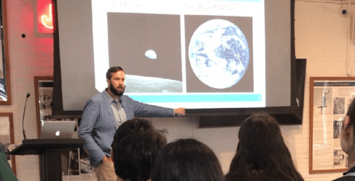
For Kevin Reed, an assistant professor at Stony Brook University’s School of Marine and Atmospheric Sciences who models extreme weather events including hurricanes, Dorian followed patterns the climate scientist anticipates will continue to develop in future years.
“Two things that are current with Dorian are consistent with what we’d expect from a changing climate,” said Reed. Dorian became a Category 5 storm, which is the strongest on the Saffir-Simpson Hurricane Wind Scale. Second, the hurricane slowed down, which was also a trend that Hurricanes Harvey and Florence demonstrated.
The reason a warming climate would slow a hurricane like Dorian is that the polar regions are warming more rapidly than the tropics. That can have a “huge impact on the overall circulation” within the atmosphere, Reed said.
Indeed, what controls the speed of the jet stream, which moves hurricanes and other storm systems along over the rotating planet, is the difference in the temperature between the tropics and the poles. When the poles warm up more rapidly than the tropics, the circulation in the atmosphere can slow down and that can reduce the speed of the wind that blows the hurricane.
“Hurricanes are impacted by climate” and any change in that dynamic will have an effect on storms that can and do present a threat to the homes, businesses and lives of people in their path, Reed said.
Basic research has enhanced and improved the ability of forecasters to predict where a storm like Dorian will go, allowing meteorologists and the National Hurricane Center to provide warnings to political leaders and emergency response teams.
“Our general understanding of why storms move and go where they do has improved significantly over the last few decades,” Reed said. “Part of that can be seen in the forecast.”
Most of these forecasts are informed by numerical models. That is where Reed brings his expertise to hurricane science.
“I am a numerical modeler,” he said. “I use and help develop models to understand tropical cyclones and precipitation in general.”
Using information often taken from satellites, from in situ observations, radar along the coastlines and aircraft that fly every few hours into a storm, especially when they threaten the Caribbean or the East Coast, forecasters have had a “steady improvement in these models.”
Reed likens the process of predicting the weather or tracking a hurricane to choosing a stock. As investors and companies have become more sophisticated in the way they analyze the market or individual companies, their algorithms improve.
Investors have “added more variables” to choose companies for their investments, while forecasters have added more information from enhanced observations.
As for the ongoing coverage of hurricanes, Reed said the general population seems to have a relatively good awareness of the path and destructive power of the storms. The one area, however, that may help people focus on the potential danger from a storm comes from the way people describe these hurricanes.
Often, media outlets focus on the speed on the wind. While the wind can and does topple trees, causes property damage and disrupts power supplies, much of the damage comes from the storm surge. Rising water levels, however, is often the reason state and national officials encourage people to evacuate from their homes.
“Whether a storm is a Category 2 or a Category 3 doesn’t take into account the size of the storm,” Reed said. Hurricanes can range in size fairly dramatically. Hurricane Sandy was not even a hurricane when it made landfall, but it was so big and it impacted a much wider area that it had a much larger storm surge.
After a storm blows off into the ocean or dissipates, the scientific community then spends considerable time learning the lessons from the storm.
In the case of Dorian, researchers will explore why models initially predicted a landfall in Florida as a Category 4 storm. They will look at what happened to slow it down, which will inform future versions of forecasts for other storms.
In the future, Reed hopes researchers enhance their ability to represent convective processes in the models. These involve the formation of clouds and rain, especially in the context of a storm.
“That’s something that’s constantly been a difficulty,” he said. “It’s a complex process. While we have theories to understand it, we are always improving our ways to model it.”
In the next 10 years, researchers will move past the point of trying to estimate convection and will get to the point where they run models that explicitly resolve convection, which eliminates the need to estimate it.
Reed believes investing in fundamental research is “crucial. The return on investment to society and to the country is one of the best investments you can make. We have shown that through a steady improvement in the hurricane track,” which came about because of fundamental research. “The only way to continue that improvement is through basic and applied research that leads to these outcomes.”
A native of Waterford, Michigan, which is about 45 minutes away from Detroit, Reed didn’t have any firsthand experiences with hurricanes when he was growing up. Rather than watching MTV the way his friends did, he would watch hurricane updates or tropical storm updates.
A resident of Queens, Reed enjoys traveling and has a self-described “unhealthy” commitment to the University of Michigan football team. He purchases season tickets each year and takes 6 a.m. flights from LaGuardia to Michigan, where an Uber brings him to his fellow tailgaters before home games.
As for future hurricanes, Reed said the current consensus is that they will be lower in number but higher in intensity. Hurricane forecasts expect “more intense precipitation, but less frequent” storms, he said.


