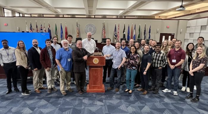
Brookhaven Town hosts Long Island Geographic Information System Conference
On April 28, the Long Island Geographic Information Systems (LIGIS) Conference was held in the auditorium at Brookhaven Town Hall. A Geographic Information System is a computer-based tool to help visualize, analyze and understand patterns and relationships within data that has a geographic or spatial component.
In simpler terms, it’s like a high-tech, interactive map that can display different types of information, such as roads, buildings, weather patterns or even population distribution, all in one place.
GIS combines various types of data, including maps, charts, and spreadsheets, and layers them on top of each other to show a more comprehensive picture of a particular area or topic. This makes it easier for people to understand complex information and make informed decisions based on geography.
It can be used for a wide range of applications, from urban planning and environmental conservation to disaster management and public health.


